
29 km Distance - approx. 34 Minutes driving time
Destination - Postalm, 5350 Strobl am Wolfgangsee, Austria
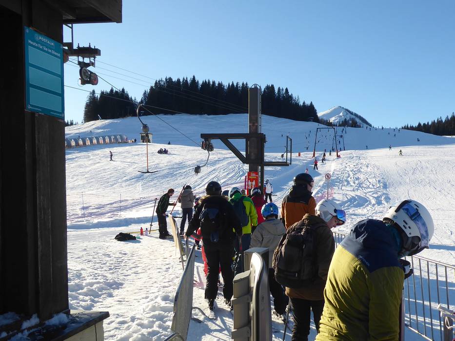
- Ideal entry for day visitors
- View on Google Maps
- usually enough available, tarmac car park, gravel car park
- free of charge
- The toll for driving up to the Postalm will be refunded when you purchase a lift ticket.
- Mountain road, well-developed, with significant incline
- Snow chains often required by snowfall
- Road closure due to avalanches sometimes possible

 Access to ski resort
  Town/village close to ski resort
  Traffic Junction


