Ski resorts Italy

Route planner
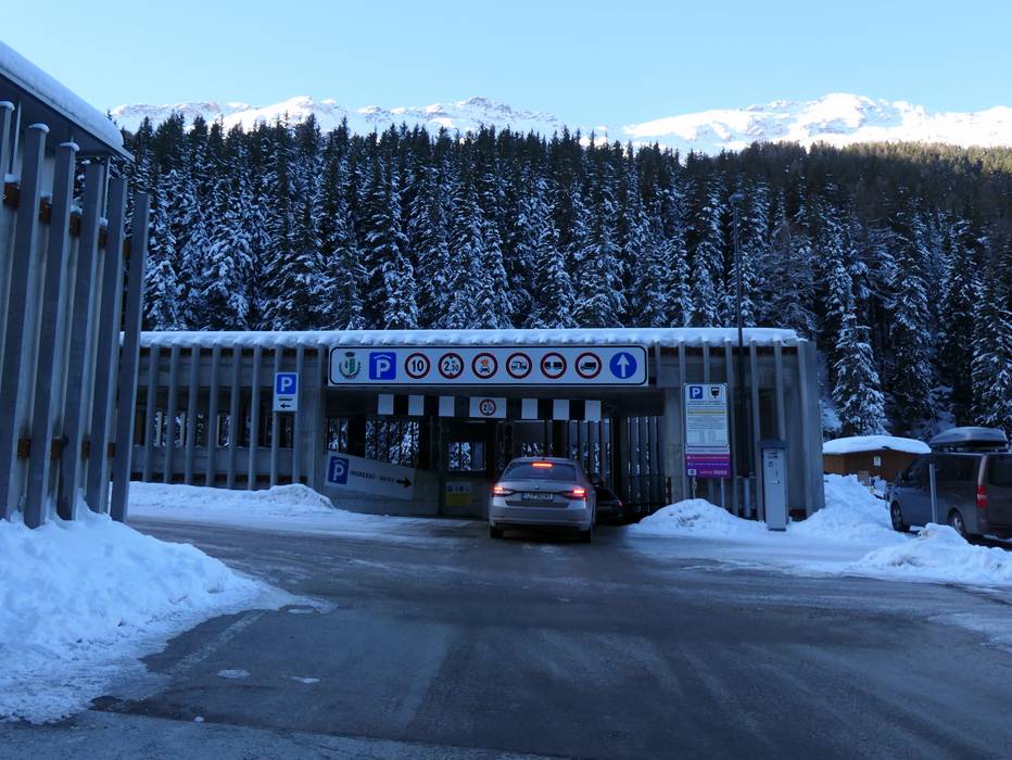
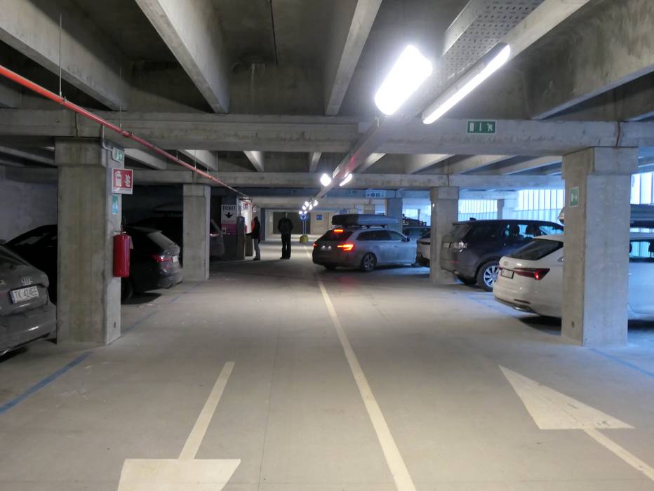
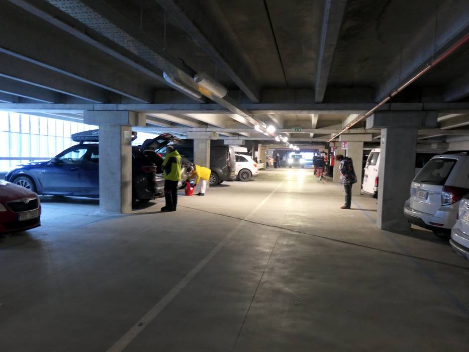
Access & on-site parking
From the North, access to the resort is only possible over Switzerland, the Ofen Pass, Livigno and Bormio. You must pay 30 EUR toll at the Munt la Schera tunnel before Livigno for the way to and from the resort. Please note the passage times for the tunnel as it is only one lane and on Saturdays, the tunnel is only open going in one direction. Winter Closure
The Stilfser Joch Pass and the Gavia Pass are closed in the winter. Due to the geographical location, please inform yourself about the road conditions beforehand, as passes in the vicinity can also close spontaneously.
Access via
- A12 Inntal Autobahn, Exit Reschen
162 km approx. 181 min » - Brenner Autobahn, Exit San Michele all'Adige
180 km approx. 206 min » - Motorway A4 Milan-Verona, exit Brescia East
173 km approx. 172 min » - Autobahn A13 St. Margrethen-Bellinzona, Exit Landquart
140 km approx. 182 min » - Strada Statale 36, End of motorway Colico/SS 38
114 km approx. 106 min »
Mobility on-site
- Ski buses
- Scheduled buses
Access via A12 Inntal Autobahn, Exit Reschen
162 km Distance - approx. 181 Minutes driving time
Destination - Via Santa Caterina, 23030 Santa Caterina Valfurva, Italy
- Ideal entry for day visitors
- View on Google Maps
- usually enough available, covered car park, tarmac car park
- for a fee
- Side road, Mountain road, Mountain pass road, with significant incline
- Snow chains often required by snowfall
- Road closure due to avalanches often possible
Access via Brenner Autobahn, Exit San Michele all'Adige
180 km Distance - approx. 206 Minutes driving time
Destination - Via Santa Caterina, 23030 Santa Caterina Valfurva, Italy
- Ideal entry for day visitors
- View on Google Maps
- usually enough available, covered car park, tarmac car park
- for a fee
- Mountain road, Mountain pass road, with significant incline
- Snow chains often required by snowfall
- Road closure due to avalanches often possible
Access via Motorway A4 Milan-Verona, exit Brescia East
173 km Distance - approx. 172 Minutes driving time
Destination - Via Santa Caterina, 23030 Santa Caterina Valfurva, Italy
- Ideal entry for day visitors
- View on Google Maps
- usually enough available, covered car park, tarmac car park
- for a fee
- Side road, Mountain road, with significant incline
- Snow chains often required by snowfall
- Road closure due to avalanches often possible
Access via Autobahn A13 St. Margrethen-Bellinzona, Exit Landquart
140 km Distance - approx. 182 Minutes driving time
Destination - Via Santa Caterina, 23030 Santa Caterina Valfurva, Italy
- Ideal entry for day visitors
- View on Google Maps
- usually enough available, covered car park, tarmac car park
- for a fee
- Side road, Mountain road, Mountain pass road, well-developed, with significant incline
- Snow chains often required by snowfall
- Road closure due to avalanches sometimes possible
Access via Strada Statale 36, End of motorway Colico/SS 38
114 km Distance - approx. 106 Minutes driving time
Destination - Via Santa Caterina, 23030 Santa Caterina Valfurva, Italy
- Ideal entry for day visitors
- View on Google Maps
- usually enough available, covered car park, tarmac car park
- for a fee
- Main street, Mountain road, well-developed, with significant incline
- Snow chains sometimes required by snowfall
- Road closure due to avalanches sometimes possible
 Access to ski resort
  Town/village close to ski resort
  Traffic Junction
 All information is supplied without guarantee
The maps are provided by Google with the following information: „These directions are for planning purposes only. You may find that construction projects, traffic, weather, or other events may cause conditions to differ from the map results, and you should plan your route accordingly. You must obey all signs or notices regarding your route.“
Feedback for the Skiresort.info Team? Please use this form »
Book this ski resort

Tips for the ski holiday
Test Reports


