Ski resorts Switzerland

Evaluated by Skiresort.info, the world's largest test portal for ski resorts.
The evaluation is done as follows
Orientation (Trail map, information boards, sign-postings) and safety in the ski resort Scuol – Motta Naluns
Trail map and overview maps
The piste map provides a very good and comprehensive overview of the ski resort including all altitude indicators. All lifts and slopes as well as facilities such as the snow park, children's area, toboggan run and restaurants are shown and are easy to recognise. The only information that could potentially be added is whether or not the chairlifts have weather-protection covers. The back of the piste map shows prices and detailed timetables for the Rhätische Bahn trains and different bus services.
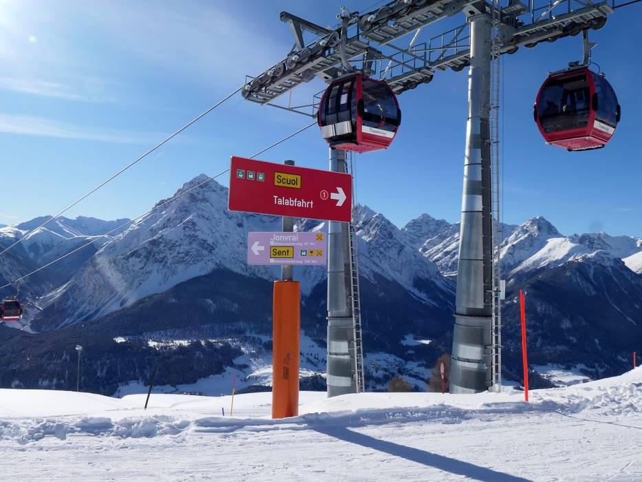
Information boards and sign-postings on the slopes
Signposting on the slopes is very good and it is always easy to find your way. Panorama boards in the snowsports resort, a ski resort news ticker and a slope guidance system assist with orientation. All slopes are marked on both sides so that even in bad weather, it is clear to see where the slope continues.
Trail map

Scuol – Motta Naluns Season 2024/2025
15 strengths of this ski resort


Feedback for the Skiresort.info Team? Please use this form »

Select specific criteria
Top evaluation criteria
Further evaluation criteria
Orientation (trail map, information boards, sign-postings)
Evaluation criteria for special interests
Feedback for the Skiresort.info Team? Please use this form »
Book this ski resort

