Evaluated by Skiresort.info, the world's largest test portal for ski resorts.
The evaluation is done as follows
Orientation (Trail map, information boards, sign-postings) and safety in the ski resort SilverStar
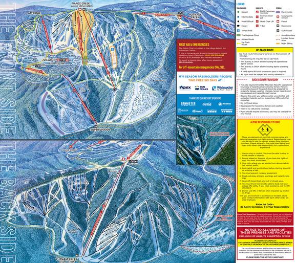
The piste map provides a very clear overview of SilverStar Mountain Resort. It shows the front side and back side individually. In addition to the slopes, there is also a map of the village on the back. All lifts, slopes, accommodation, restaurants, activities and shops are also described.
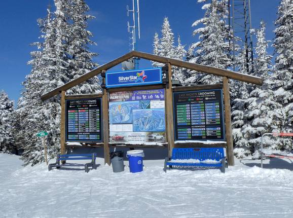
Exemplary information boards displaying digital information can be found at the main points in the SilverStar ski resort. These show you precisely which slopes are open and groomed. All slopes and runs are signposted by name. Guides in SilverStar village are personally available to answer any questions. There are also free tours of the ski resort with a guide every day.
Feedback for the Skiresort.info Team? Please use this form »


